Lane at Little Woodland
Introduction
The photograph on this page of Lane at Little Woodland by Derek Harper as part of the Geograph project.
The Geograph project started in 2005 with the aim of publishing, organising and preserving representative images for every square kilometre of Great Britain, Ireland and the Isle of Man.

There are currently over 7.5m images from over 14,400 individuals and you can help contribute to the project by visiting https://www.geograph.org.uk
Lane at Little Woodland
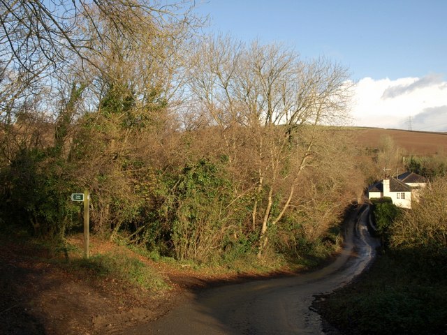
Image: © Derek Harper Taken: 4 Dec 2008
Staverton Byway 34 leads off to the left, climbing the valley of the River Hems, which the lane crosses at the foot of the hill.
Images are licensed for reuse under creativecommons.org/licenses/by-sa/2.0
Image Location
Latitude
50.49435
Longitude
-3.723629