West Howe: postbox № BH11 374, Durdells Avenue
Introduction
The photograph on this page of West Howe: postbox № BH11 374, Durdells Avenue by Chris Downer as part of the Geograph project.
The Geograph project started in 2005 with the aim of publishing, organising and preserving representative images for every square kilometre of Great Britain, Ireland and the Isle of Man.

There are currently over 7.5m images from over 14,400 individuals and you can help contribute to the project by visiting https://www.geograph.org.uk
West Howe: postbox № BH11 374, Durdells Avenue
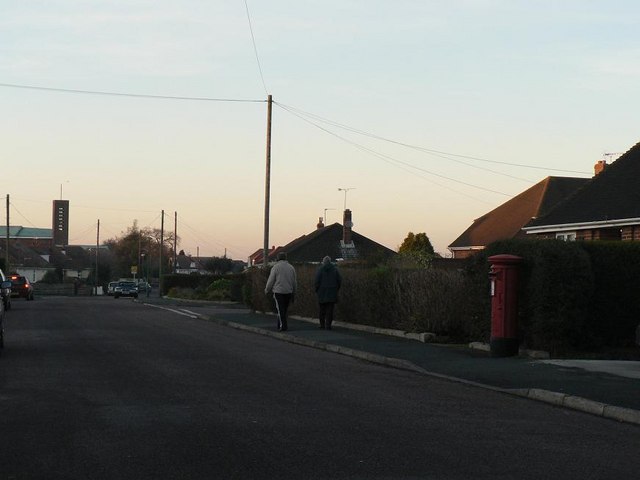
Image: © Chris Downer Taken: 7 Dec 2008
An Elizabeth II-reign postbox near the southern end of Durdells Avenue, where it meets Poole Lane.
Images are licensed for reuse under creativecommons.org/licenses/by-sa/2.0
Image Location
Latitude
50.765083
Longitude
-1.908633