Worsbrough Reservoir
Introduction
The photograph on this page of Worsbrough Reservoir by R BEEBY as part of the Geograph project.
The Geograph project started in 2005 with the aim of publishing, organising and preserving representative images for every square kilometre of Great Britain, Ireland and the Isle of Man.

There are currently over 7.5m images from over 14,400 individuals and you can help contribute to the project by visiting https://www.geograph.org.uk
Worsbrough Reservoir
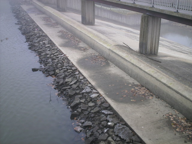
Image: © R BEEBY Taken: 30 Nov 2008
Over flow foundations showing after reservoir was empty to build new fishing platforms. After heavy snow fall the following week it was full again.
Images are licensed for reuse under creativecommons.org/licenses/by-sa/2.0
Image Location
Latitude
53.52701
Longitude
-1.475012