Field by Beaston Brook
Introduction
The photograph on this page of Field by Beaston Brook by Derek Harper as part of the Geograph project.
The Geograph project started in 2005 with the aim of publishing, organising and preserving representative images for every square kilometre of Great Britain, Ireland and the Isle of Man.

There are currently over 7.5m images from over 14,400 individuals and you can help contribute to the project by visiting https://www.geograph.org.uk
Field by Beaston Brook
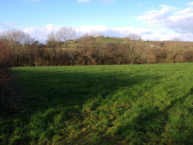
Image: © Derek Harper Taken: 4 Dec 2008
The trees on the right are close to the stream, which diverges away from those in the centre. In the distance is Image, above the tiny hamlet of Bickaton. Seen from the lane between Broadhempston and Forder Green.
Images are licensed for reuse under creativecommons.org/licenses/by-sa/2.0
Image Location


Leaflet Map data © OpenStreetMap
Latitude
50.486119
Longitude
-3.696263