Brook Farm Open Space
Introduction
The photograph on this page of Brook Farm Open Space by Martin Addison as part of the Geograph project.
The Geograph project started in 2005 with the aim of publishing, organising and preserving representative images for every square kilometre of Great Britain, Ireland and the Isle of Man.

There are currently over 7.5m images from over 14,400 individuals and you can help contribute to the project by visiting https://www.geograph.org.uk
Brook Farm Open Space
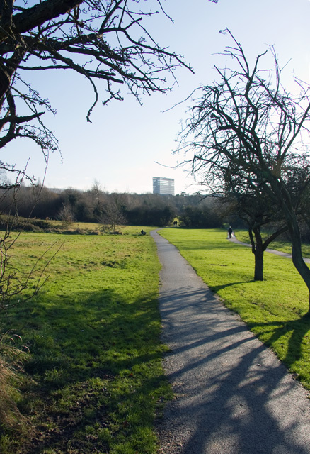
Image: © Martin Addison Taken: 6 Dec 2008
Looking along the Dollis Valley Green Walk towards Whetstone. The office block is Barnet House - Image
Images are licensed for reuse under creativecommons.org/licenses/by-sa/2.0
Image Location
Latitude
51.634596
Longitude
-0.182085