Brook Farm Open Space
Introduction
The photograph on this page of Brook Farm Open Space by Martin Addison as part of the Geograph project.
The Geograph project started in 2005 with the aim of publishing, organising and preserving representative images for every square kilometre of Great Britain, Ireland and the Isle of Man.

There are currently over 7.5m images from over 14,400 individuals and you can help contribute to the project by visiting https://www.geograph.org.uk
Brook Farm Open Space
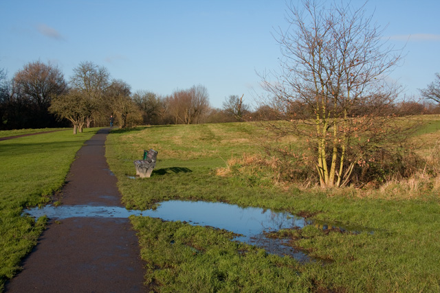
Image: © Martin Addison Taken: 6 Dec 2008
A number of small streams cross the open land carrying water down to Dollis Brook. In winter much of the ground becomes waterlogged and mini lakes form. The water then finds its own way down the side of the valley to the brook. There is a stream going through pipes under the path where the clump of vegetation is on the right.
Images are licensed for reuse under creativecommons.org/licenses/by-sa/2.0
Image Location
Latitude
51.63438
Longitude
-0.181515