Downfield, Dundee
Introduction
The photograph on this page of Downfield, Dundee by Val Vannet as part of the Geograph project.
The Geograph project started in 2005 with the aim of publishing, organising and preserving representative images for every square kilometre of Great Britain, Ireland and the Isle of Man.

There are currently over 7.5m images from over 14,400 individuals and you can help contribute to the project by visiting https://www.geograph.org.uk
Downfield, Dundee
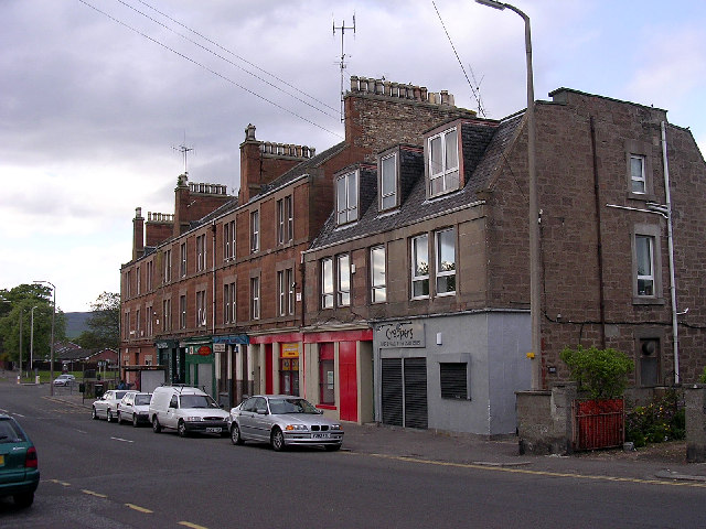
Image: © Val Vannet Taken: 17 May 2005
The Victorian tenements of Downfield are testimony to the fact that it was once an independent settlement rather than a part of Dundee's suburbs.
Images are licensed for reuse under creativecommons.org/licenses/by-sa/2.0
Image Location
Latitude
56.489559
Longitude
-3.00034