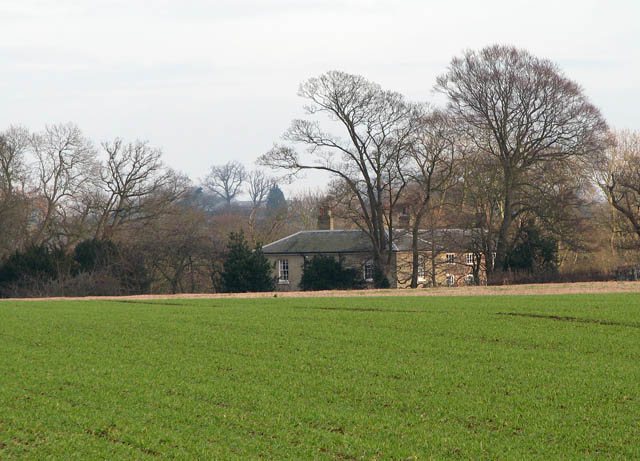
Braydeston Hall
Introduction
The photograph on this page of Braydeston Hall by Evelyn Simak as part of the Geograph project.
The Geograph project started in 2005 with the aim of publishing, organising and preserving representative images for every square kilometre of Great Britain, Ireland and the Isle of Man.
There are currently over 7.5m images from over 14,400 individuals and you can help contribute to the project by visiting https://www.geograph.org.uk

Image: © Evelyn Simak Taken: 5 Dec 2008
In adjacent grid square (east) - viewed across a cultivated field beside the public footpath which starts at the churchyard gate > http://www.geograph.org.uk/photo/1070386 in Blofield's Church Road. Its first section traverses the churchyard. After passing a stile > http://www.geograph.org.uk/photo/1070393 and a footbridge > http://www.geograph.org.uk/photo/1070401 over a drain the path leads uphill across fields > http://www.geograph.org.uk/photo/1070408 and onwards until it passes another stile > http://www.geograph.org.uk/photo/1070462 and reaches Braydeston's St Michael's church > http://www.geograph.org.uk/photo/486872.

