Moorland Road, Drighlington
Introduction
The photograph on this page of Moorland Road, Drighlington by Richard Kay as part of the Geograph project.
The Geograph project started in 2005 with the aim of publishing, organising and preserving representative images for every square kilometre of Great Britain, Ireland and the Isle of Man.

There are currently over 7.5m images from over 14,400 individuals and you can help contribute to the project by visiting https://www.geograph.org.uk
Moorland Road, Drighlington
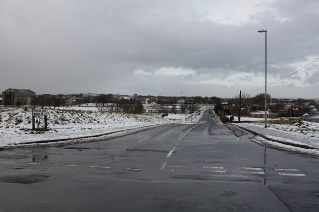
Image: © Richard Kay Taken: 4 Dec 2008
Drighlington Library is visible down the road on the left. The open area to the left of Moorland Road is the site of the battle of Adwalton.
Images are licensed for reuse under creativecommons.org/licenses/by-sa/2.0
Image Location
Latitude
53.7523
Longitude
-1.661776