2008 : Looking north on the Fosse Way, A367
Introduction
The photograph on this page of 2008 : Looking north on the Fosse Way, A367 by Maurice Pullin as part of the Geograph project.
The Geograph project started in 2005 with the aim of publishing, organising and preserving representative images for every square kilometre of Great Britain, Ireland and the Isle of Man.

There are currently over 7.5m images from over 14,400 individuals and you can help contribute to the project by visiting https://www.geograph.org.uk
2008 : Looking north on the Fosse Way, A367
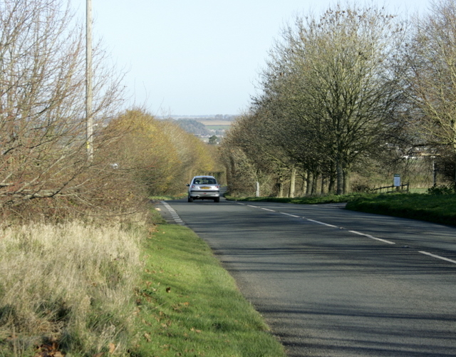
Image: © Maurice Pullin Taken: 25 Nov 2008
[The Fosse Way] runs from Exeter in the south west to Lincoln in the north-east, and was built in the middle of the 1st century AD. The word Fosse comes from the Latin word for ditch (Fossa) and is appropriate for this road as for a long time, the western boundary of Roman controlled Britain was protected by a defensive ditch running between Exeter and Lincoln. Whether the ditch was filled in and the road built later, or whether the road was built to follow the ditch is a subject of much conjecture. What is certain is that the road got its name from the ditch. The above copied from http://www.rural-roads.co.uk/fosse/fosse1.shtml an interesting website.
Images are licensed for reuse under creativecommons.org/licenses/by-sa/2.0
Image Location
Latitude
51.264802
Longitude
-2.484534