Eastern Moffat from Gallow Hill
Introduction
The photograph on this page of Eastern Moffat from Gallow Hill by Ian Porter as part of the Geograph project.
The Geograph project started in 2005 with the aim of publishing, organising and preserving representative images for every square kilometre of Great Britain, Ireland and the Isle of Man.

There are currently over 7.5m images from over 14,400 individuals and you can help contribute to the project by visiting https://www.geograph.org.uk
Eastern Moffat from Gallow Hill
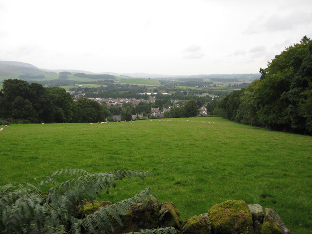
Image: © Ian Porter Taken: 5 Sep 2008
The eastern side of Moffat is dead centre of the photograph but clearly a much larger area is covered. The trees, to the right, line the footpath up Gallow Hill from Old Well Road.
Images are licensed for reuse under creativecommons.org/licenses/by-sa/2.0
Image Location
Latitude
55.336633
Longitude
-3.435065