West Park Road, Wind Mill Estate, Southall - looking east
Introduction
The photograph on this page of West Park Road, Wind Mill Estate, Southall - looking east by J Taylor as part of the Geograph project.
The Geograph project started in 2005 with the aim of publishing, organising and preserving representative images for every square kilometre of Great Britain, Ireland and the Isle of Man.

There are currently over 7.5m images from over 14,400 individuals and you can help contribute to the project by visiting https://www.geograph.org.uk
West Park Road, Wind Mill Estate, Southall - looking east
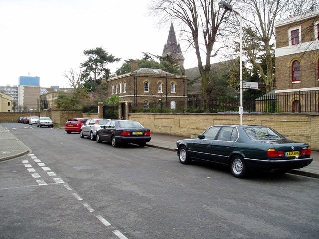
Image: © J Taylor Taken: 2 Dec 2008
Osterly Park is on the right (a private residential complex). The spire is that of the St. Bernards' Hospital Chapel. The blue building in the background is Ealing Hospital. The road junction on the left is Halliday Square.
Images are licensed for reuse under creativecommons.org/licenses/by-sa/2.0
Image Location
Latitude
51.507855
Longitude
-0.349824