2008 : The A4 heads for Bath
Introduction
The photograph on this page of 2008 : The A4 heads for Bath by Maurice Pullin as part of the Geograph project.
The Geograph project started in 2005 with the aim of publishing, organising and preserving representative images for every square kilometre of Great Britain, Ireland and the Isle of Man.

There are currently over 7.5m images from over 14,400 individuals and you can help contribute to the project by visiting https://www.geograph.org.uk
2008 : The A4 heads for Bath
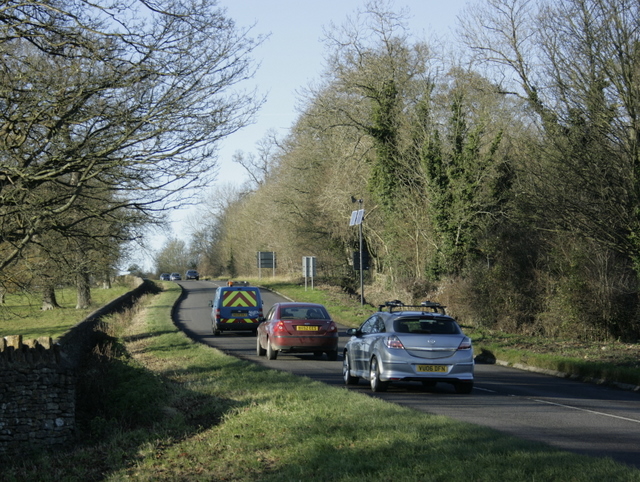
Image: © Maurice Pullin Taken: 1 Dec 2008
The land to the left of the road here is part of Corsham Park, laid out in 1760 by Lancelot "Capability" Brown under the instructions of the Lord of the Manor, Paul Methuen.
Images are licensed for reuse under creativecommons.org/licenses/by-sa/2.0
Image Location
Latitude
51.445167
Longitude
-2.162402