Nunfield House
Introduction
The photograph on this page of Nunfield House by David Anstiss as part of the Geograph project.
The Geograph project started in 2005 with the aim of publishing, organising and preserving representative images for every square kilometre of Great Britain, Ireland and the Isle of Man.

There are currently over 7.5m images from over 14,400 individuals and you can help contribute to the project by visiting https://www.geograph.org.uk
Nunfield House
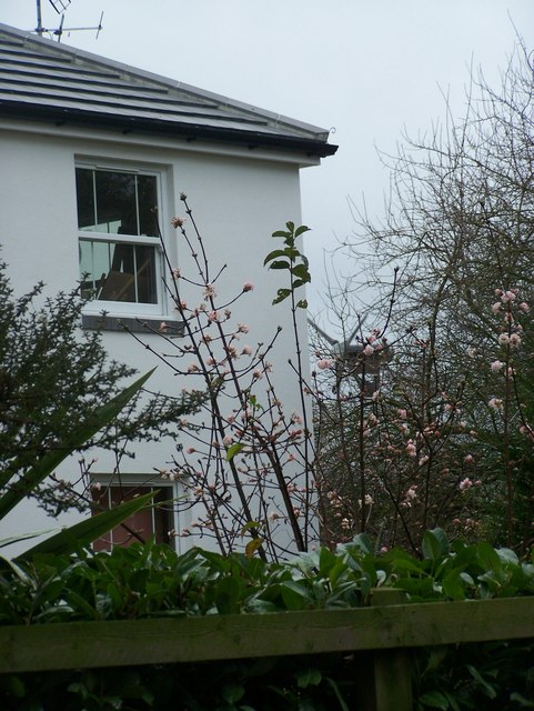
Image: © David Anstiss Taken: 27 Nov 2008
On Bull Lane. Has eco-friendly wind-turbine in horse paddocks behind house facing M2 Motorway.
Images are licensed for reuse under creativecommons.org/licenses/by-sa/2.0
Image Location
Latitude
51.337408
Longitude
0.647342