Lane junction between Quoyloo (and Upper Barswick?)
Introduction
The photograph on this page of Lane junction between Quoyloo (and Upper Barswick?) by Ian Balcombe as part of the Geograph project.
The Geograph project started in 2005 with the aim of publishing, organising and preserving representative images for every square kilometre of Great Britain, Ireland and the Isle of Man.

There are currently over 7.5m images from over 14,400 individuals and you can help contribute to the project by visiting https://www.geograph.org.uk
Lane junction between Quoyloo (and Upper Barswick?)
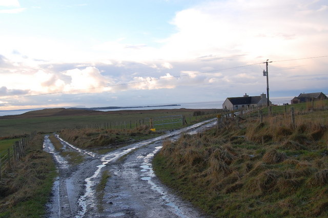
Image: © Ian Balcombe Taken: 30 Nov 2008
The sign at the beginning of the lane said "Upper Barswick" and led to 2 properties. The one down the left fork is Quoyloo. Isle of Swona beyond.
Images are licensed for reuse under creativecommons.org/licenses/by-sa/2.0
Image Location
Latitude
58.760351
Longitude
-2.96946