Peachfield Road
Introduction
The photograph on this page of Peachfield Road by Bob Embleton as part of the Geograph project.
The Geograph project started in 2005 with the aim of publishing, organising and preserving representative images for every square kilometre of Great Britain, Ireland and the Isle of Man.

There are currently over 7.5m images from over 14,400 individuals and you can help contribute to the project by visiting https://www.geograph.org.uk
Peachfield Road
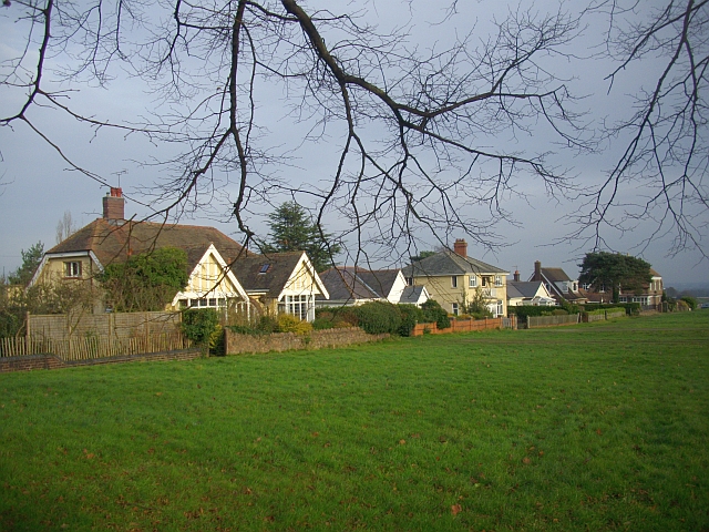
Image: © Bob Embleton Taken: 30 Nov 2008
Houses with a southerly aspect overlooking common land. The house on the right was once the clubhouse for the golf course that used to occupy this common a century ago.
Images are licensed for reuse under creativecommons.org/licenses/by-sa/2.0
Image Location
Latitude
52.096159
Longitude
-2.319054