Allotments in Pound Lane
Introduction
The photograph on this page of Allotments in Pound Lane by Derek Harris as part of the Geograph project.
The Geograph project started in 2005 with the aim of publishing, organising and preserving representative images for every square kilometre of Great Britain, Ireland and the Isle of Man.

There are currently over 7.5m images from over 14,400 individuals and you can help contribute to the project by visiting https://www.geograph.org.uk
Allotments in Pound Lane
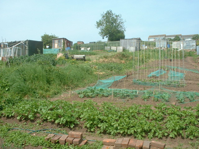
Image: © Derek Harris Taken: 21 May 2008
On the East side of Pound lane on South West facing slope picture taken from lower end of the site adjoining Pound lane.
Images are licensed for reuse under creativecommons.org/licenses/by-sa/2.0
Image Location
Latitude
50.632699
Longitude
-3.399778