Hangerwood, Shermanbury
Introduction
The photograph on this page of Hangerwood, Shermanbury by Simon Carey as part of the Geograph project.
The Geograph project started in 2005 with the aim of publishing, organising and preserving representative images for every square kilometre of Great Britain, Ireland and the Isle of Man.

There are currently over 7.5m images from over 14,400 individuals and you can help contribute to the project by visiting https://www.geograph.org.uk
Hangerwood, Shermanbury
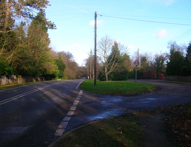
Image: © Simon Carey Taken: 22 Nov 2008
Name of the small road to the right containing bungalows built in the 1950s next to Brighton Road, the A281. This is the northernmost section of the village of Shermanbury which is strung out along the main road from Mock Bridge to the south.
Images are licensed for reuse under creativecommons.org/licenses/by-sa/2.0
Image Location
Latitude
50.965836
Longitude
-0.279096