Pennycroft Flats
Introduction
The photograph on this page of Pennycroft Flats by Simon Huguet as part of the Geograph project.
The Geograph project started in 2005 with the aim of publishing, organising and preserving representative images for every square kilometre of Great Britain, Ireland and the Isle of Man.

There are currently over 7.5m images from over 14,400 individuals and you can help contribute to the project by visiting https://www.geograph.org.uk
Pennycroft Flats
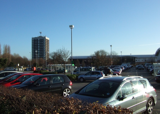
Image: © Simon Huguet Taken: 25 Nov 2008
Looking across the ASDA car park towards Pennycroft Flats and the long low roof of the new Stafford Recreation Centre. The tower block is built alongside the road that once emanated through the old Town Walls from the East Gate going to Littleworth, Weston and eventually Uttoxeter. The old names of Littleworth and Penny Croft imply that this was not perhaps the best farmland in the area in medieval times!
Images are licensed for reuse under creativecommons.org/licenses/by-sa/2.0
Image Location
Latitude
52.806483
Longitude
-2.106912