Lledwigan Standing Stone
Introduction
The photograph on this page of Lledwigan Standing Stone by Ray West as part of the Geograph project.
The Geograph project started in 2005 with the aim of publishing, organising and preserving representative images for every square kilometre of Great Britain, Ireland and the Isle of Man.

There are currently over 7.5m images from over 14,400 individuals and you can help contribute to the project by visiting https://www.geograph.org.uk
Lledwigan Standing Stone
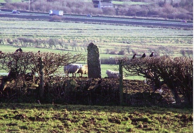
Image: © Ray West Taken: 6 Feb 2008
A Bronze Age Standing Stone, with the 20th Century A55 in the background.
Images are licensed for reuse under creativecommons.org/licenses/by-sa/2.0
Image Location
Latitude
53.240441
Longitude
-4.31408