Track, St Catherine's Hill
Introduction
The photograph on this page of Track, St Catherine's Hill by Mike Faherty as part of the Geograph project.
The Geograph project started in 2005 with the aim of publishing, organising and preserving representative images for every square kilometre of Great Britain, Ireland and the Isle of Man.

There are currently over 7.5m images from over 14,400 individuals and you can help contribute to the project by visiting https://www.geograph.org.uk
Track, St Catherine's Hill
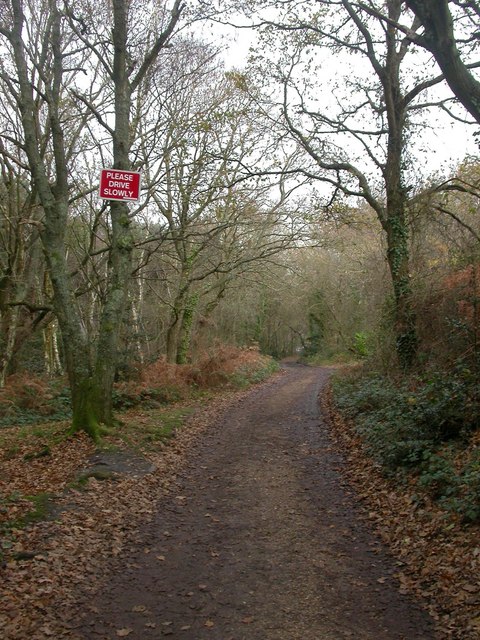
Image: © Mike Faherty Taken: 26 Nov 2008
Track leading from Fairmile Road to the top of the hill, and on to Avon Causeway. The topography of the hill is well described at http://www.south-coast-central.co.uk/n&q/stcatherineshill.htm
Images are licensed for reuse under creativecommons.org/licenses/by-sa/2.0
Image Location
Latitude
50.752727
Longitude
-1.794487