Oaks, Nod Rise brookstray
Introduction
The photograph on this page of Oaks, Nod Rise brookstray by E Gammie as part of the Geograph project.
The Geograph project started in 2005 with the aim of publishing, organising and preserving representative images for every square kilometre of Great Britain, Ireland and the Isle of Man.

There are currently over 7.5m images from over 14,400 individuals and you can help contribute to the project by visiting https://www.geograph.org.uk
Oaks, Nod Rise brookstray
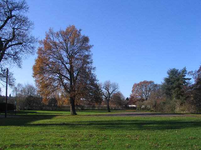
Image: © E Gammie Taken: 25 Nov 2008
Here the brookstray runs parallel to Nod Rise on the Mount Nod estate.
Images are licensed for reuse under creativecommons.org/licenses/by-sa/2.0
Image Location
Latitude
52.410362
Longitude
-1.564955