The ford at Standford
Introduction
The photograph on this page of The ford at Standford by Shazz as part of the Geograph project.
The Geograph project started in 2005 with the aim of publishing, organising and preserving representative images for every square kilometre of Great Britain, Ireland and the Isle of Man.

There are currently over 7.5m images from over 14,400 individuals and you can help contribute to the project by visiting https://www.geograph.org.uk
The ford at Standford
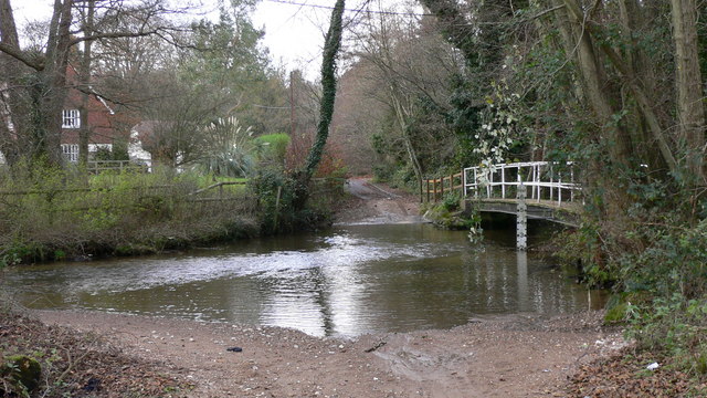
Image: © Shazz Taken: 25 Nov 2008
The depth is shown at about 2 feet. The top of the scale is 10 feet.
Images are licensed for reuse under creativecommons.org/licenses/by-sa/2.0
Image Location
Latitude
51.105697
Longitude
-0.83442