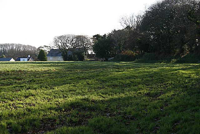
Field at Playing Place
Introduction
The photograph on this page of Field at Playing Place by Fred James as part of the Geograph project.
The Geograph project started in 2005 with the aim of publishing, organising and preserving representative images for every square kilometre of Great Britain, Ireland and the Isle of Man.
There are currently over 7.5m images from over 14,400 individuals and you can help contribute to the project by visiting https://www.geograph.org.uk

Image: © Fred James Taken: 25 Nov 2008
This field has been identified as the site of the plain-an-gwarry that gave the village of Playing Place its name. Playing place being the English translation from the Cornish/Kernewek plain-an-gwarry. A plain-an-gwarry was a large circular amphitheatre surrounded by stone faced earth banks or dry stone walls about 2 metres high. They were used for many purposes similar to a community centre of today. The use that they mostly associated with is the performance of miracle plays that were popular in mediaeval times. It has been suggested that the recently discovered sixteenth century Cornish language manuscript Beunans Ke (The Life of St Kea) was written to be performed here. There are two plain-an-gwarries in Cornwall that have survived almost complete. One here Image and one here Image

