Baldersby Milestone
Introduction
The photograph on this page of Baldersby Milestone by David Rogers as part of the Geograph project.
The Geograph project started in 2005 with the aim of publishing, organising and preserving representative images for every square kilometre of Great Britain, Ireland and the Isle of Man.

There are currently over 7.5m images from over 14,400 individuals and you can help contribute to the project by visiting https://www.geograph.org.uk
Baldersby Milestone
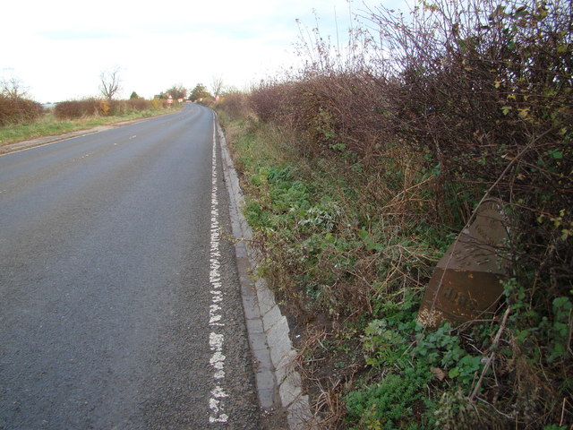
Image: © David Rogers Taken: 12 Nov 2008
Looking north along the A61 between Ward's Corner and the village of Baldersby.
Images are licensed for reuse under creativecommons.org/licenses/by-sa/2.0
Image Location
Latitude
54.194478
Longitude
-1.45939