West Mains Hill trig and cairn
Introduction
The photograph on this page of West Mains Hill trig and cairn by Iain Macaulay as part of the Geograph project.
The Geograph project started in 2005 with the aim of publishing, organising and preserving representative images for every square kilometre of Great Britain, Ireland and the Isle of Man.

There are currently over 7.5m images from over 14,400 individuals and you can help contribute to the project by visiting https://www.geograph.org.uk
West Mains Hill trig and cairn
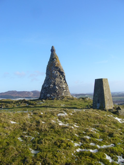
Image: © Iain Macaulay Taken: 24 Nov 2008
Nothing on cairn to indicate its origin/purpose.
Images are licensed for reuse under creativecommons.org/licenses/by-sa/2.0
Image Location
Latitude
56.525867
Longitude
-3.115088