Entrance to Baty's Marsh, Borstal
Introduction
The photograph on this page of Entrance to Baty's Marsh, Borstal by David Anstiss as part of the Geograph project.
The Geograph project started in 2005 with the aim of publishing, organising and preserving representative images for every square kilometre of Great Britain, Ireland and the Isle of Man.

There are currently over 7.5m images from over 14,400 individuals and you can help contribute to the project by visiting https://www.geograph.org.uk
Entrance to Baty's Marsh, Borstal
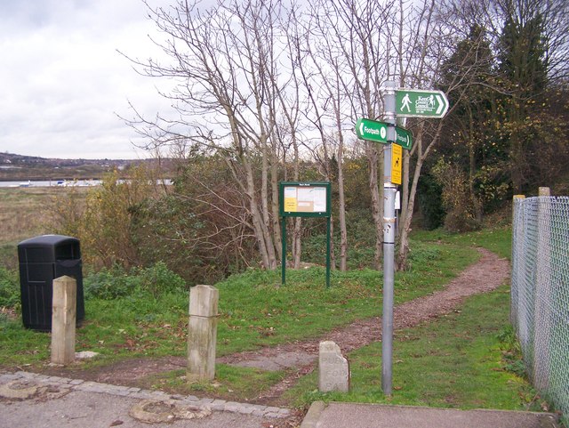
Image: © David Anstiss Taken: 20 Nov 2008
On bend in road on Manor Lane. Also on the Saxon Shore Way (long-distance footpath), also Maidstone Centenary Walk (Maidstone to Medway). Baty's Marsh, a local Nature Reserve, is one of the few remaining salt marshes within the area of Rochester. The marshes are important for their variety of coastal plants and as a feeding area for wetland birds.
Images are licensed for reuse under creativecommons.org/licenses/by-sa/2.0
Image Location


Leaflet Map data © OpenStreetMap
Latitude
51.376613
Longitude
0.48348