Crick Road, Hillmorton
Introduction
The photograph on this page of Crick Road, Hillmorton by Stephen McKay as part of the Geograph project.
The Geograph project started in 2005 with the aim of publishing, organising and preserving representative images for every square kilometre of Great Britain, Ireland and the Isle of Man.

There are currently over 7.5m images from over 14,400 individuals and you can help contribute to the project by visiting https://www.geograph.org.uk
Crick Road, Hillmorton
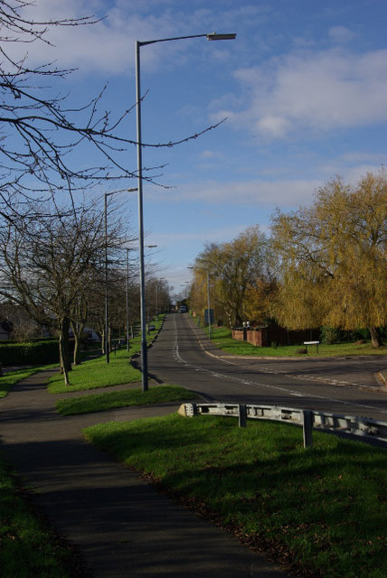
Image: © Stephen McKay Taken: 22 Nov 2008
Looking towards Hillmorton village and Rugby along the A428 from Wharf Bridge. The turning on the right is Lennon Close.
Images are licensed for reuse under creativecommons.org/licenses/by-sa/2.0
Image Location
Latitude
52.356062
Longitude
-1.202816