Smallfield Evangelical Church looking East from Redehall Road
Introduction
The photograph on this page of Smallfield Evangelical Church looking East from Redehall Road by Rib as part of the Geograph project.
The Geograph project started in 2005 with the aim of publishing, organising and preserving representative images for every square kilometre of Great Britain, Ireland and the Isle of Man.

There are currently over 7.5m images from over 14,400 individuals and you can help contribute to the project by visiting https://www.geograph.org.uk
Smallfield Evangelical Church looking East from Redehall Road
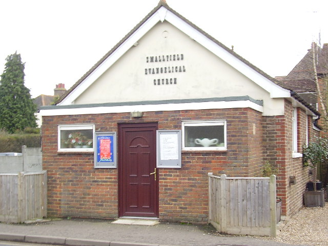
Image: © Rib Taken: 14 Jan 2006
Postcode RH6 9RT. Located on East side of Redehall Road between its junctions with New Road and Plough Road.
Images are licensed for reuse under creativecommons.org/licenses/by-sa/2.0
Image Location
Latitude
51.171961
Longitude
-0.11608