The Priory High School
Introduction
The photograph on this page of The Priory High School by Jan Baker as part of the Geograph project.
The Geograph project started in 2005 with the aim of publishing, organising and preserving representative images for every square kilometre of Great Britain, Ireland and the Isle of Man.

There are currently over 7.5m images from over 14,400 individuals and you can help contribute to the project by visiting https://www.geograph.org.uk
The Priory High School
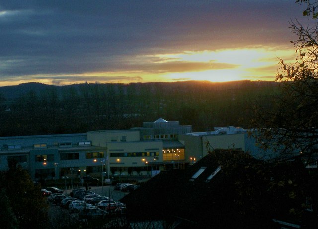
Image: © Jan Baker Taken: 18 Nov 2008
The priory High School from footbridge over Topsham Road close to Burnthouse lane. The school is a new build.
Images are licensed for reuse under creativecommons.org/licenses/by-sa/2.0
Image Location
Latitude
50.707612
Longitude
-3.507946