Green Lane, Ledston
Introduction
The photograph on this page of Green Lane, Ledston by David Pickersgill as part of the Geograph project.
The Geograph project started in 2005 with the aim of publishing, organising and preserving representative images for every square kilometre of Great Britain, Ireland and the Isle of Man.

There are currently over 7.5m images from over 14,400 individuals and you can help contribute to the project by visiting https://www.geograph.org.uk
Green Lane, Ledston
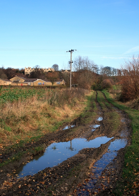
Image: © David Pickersgill Taken: 22 Nov 2008
Track linking the village to the A656 Barnsdale Road. Ledston Hall on the skyline, Lady Elizabeth Hastings primary school centre left.
Images are licensed for reuse under creativecommons.org/licenses/by-sa/2.0
Image Location
Latitude
53.75333
Longitude
-1.346015