Lane near Shuttaford
Introduction
The photograph on this page of Lane near Shuttaford by Derek Harper as part of the Geograph project.
The Geograph project started in 2005 with the aim of publishing, organising and preserving representative images for every square kilometre of Great Britain, Ireland and the Isle of Man.

There are currently over 7.5m images from over 14,400 individuals and you can help contribute to the project by visiting https://www.geograph.org.uk
Lane near Shuttaford
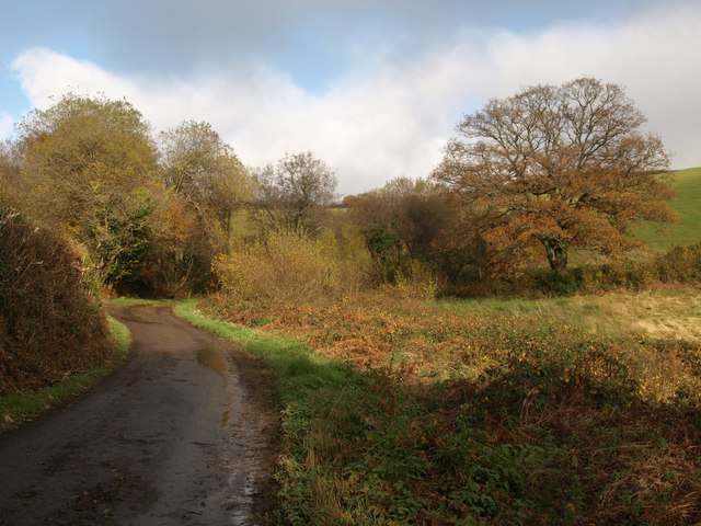
Image: © Derek Harper Taken: 16 Nov 2008
The lane from Holne approaches the bend seen in Image, where it swings across the little valley and starts climbing Magpie Hill. The oak on the right is featured in Image
Images are licensed for reuse under creativecommons.org/licenses/by-sa/2.0
Image Location
Latitude
50.510334
Longitude
-3.808271