Steps leading up to Brucehill
Introduction
The photograph on this page of Steps leading up to Brucehill by Lairich Rig as part of the Geograph project.
The Geograph project started in 2005 with the aim of publishing, organising and preserving representative images for every square kilometre of Great Britain, Ireland and the Isle of Man.

There are currently over 7.5m images from over 14,400 individuals and you can help contribute to the project by visiting https://www.geograph.org.uk
Steps leading up to Brucehill
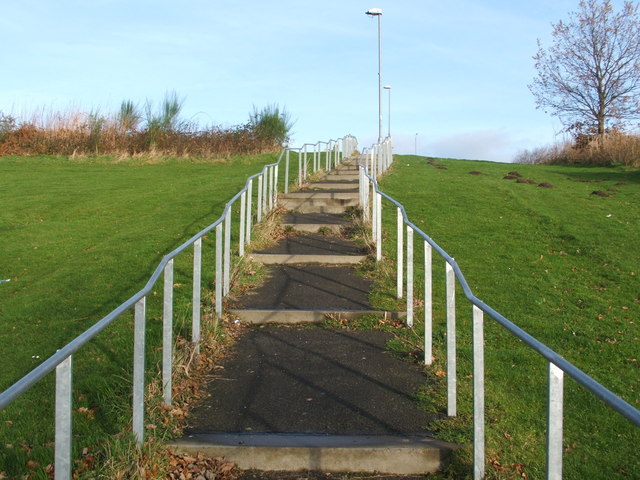
Image: © Lairich Rig Taken: 21 Nov 2008
These steps form the last part of the footpath shown here: Image They lead to the corner of Firthview Terrace and Keil Crescent: Image For a view down the same steps, see Image
Images are licensed for reuse under creativecommons.org/licenses/by-sa/2.0
Image Location
Latitude
55.941827
Longitude
-4.587101