Eastern end of Weston Grove, Ross-on-Wye
Introduction
The photograph on this page of Eastern end of Weston Grove, Ross-on-Wye by Jonathan Billinger as part of the Geograph project.
The Geograph project started in 2005 with the aim of publishing, organising and preserving representative images for every square kilometre of Great Britain, Ireland and the Isle of Man.

There are currently over 7.5m images from over 14,400 individuals and you can help contribute to the project by visiting https://www.geograph.org.uk
Eastern end of Weston Grove, Ross-on-Wye
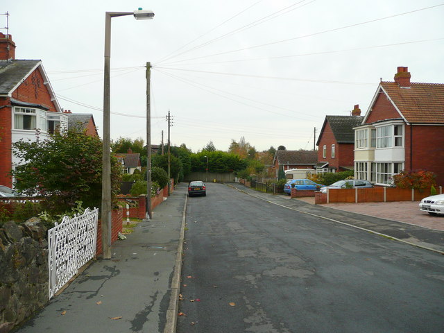
Image: © Jonathan Billinger Taken: 29 Oct 2008
The last few houses on this residential cul-de-sac to the east of the town centre.
Images are licensed for reuse under creativecommons.org/licenses/by-sa/2.0
Image Location


Leaflet Map data © OpenStreetMap
Latitude
51.915295
Longitude
-2.572343