Lower Rochester Road and Dillywood Lane Crossroads
Introduction
The photograph on this page of Lower Rochester Road and Dillywood Lane Crossroads by David Anstiss as part of the Geograph project.
The Geograph project started in 2005 with the aim of publishing, organising and preserving representative images for every square kilometre of Great Britain, Ireland and the Isle of Man.

There are currently over 7.5m images from over 14,400 individuals and you can help contribute to the project by visiting https://www.geograph.org.uk
Lower Rochester Road and Dillywood Lane Crossroads
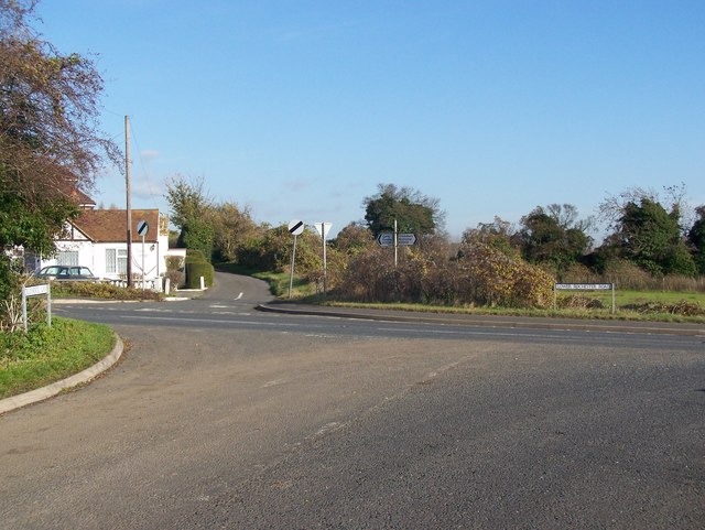
Image: © David Anstiss Taken: 19 Nov 2008
B2000 Rochester Road goes from Cliffe (from left) to Frindsbury (heading right). Dillywood Lane heading north goes to various farms. Or towards viewer goes to Gravesend Road A226.
Images are licensed for reuse under creativecommons.org/licenses/by-sa/2.0
Image Location
Latitude
51.414942
Longitude
0.491167