Westfield Bridge & Lock Site
Introduction
The photograph on this page of Westfield Bridge & Lock Site by David Stowell as part of the Geograph project.
The Geograph project started in 2005 with the aim of publishing, organising and preserving representative images for every square kilometre of Great Britain, Ireland and the Isle of Man.

There are currently over 7.5m images from over 14,400 individuals and you can help contribute to the project by visiting https://www.geograph.org.uk
Westfield Bridge & Lock Site
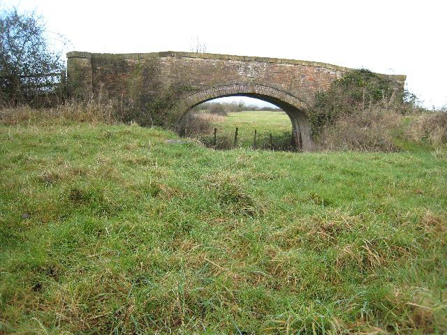
Image: © David Stowell Taken: 9 Jan 2008
The Stroudwater Canal west of here has been infilled and the line largely obliterated by the construction of the M5 motorway and the Stroudwater junction. Restoration of the canal is likely to involve a diversion to the south using the River Frome.
Images are licensed for reuse under creativecommons.org/licenses/by-sa/2.0
Image Location
Latitude
51.754054
Longitude
-2.320112