Limehouse Basin
Introduction
The photograph on this page of Limehouse Basin by Dr Neil Clifton as part of the Geograph project.
The Geograph project started in 2005 with the aim of publishing, organising and preserving representative images for every square kilometre of Great Britain, Ireland and the Isle of Man.

There are currently over 7.5m images from over 14,400 individuals and you can help contribute to the project by visiting https://www.geograph.org.uk
Limehouse Basin
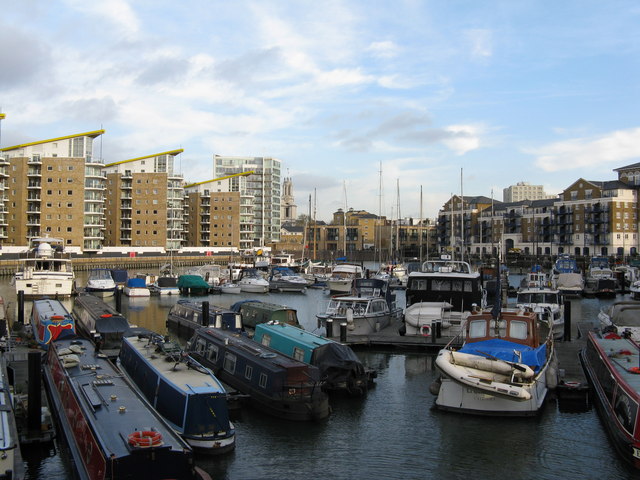
Image: © Dr Neil Clifton Taken: 19 Nov 2008
Formerly this marina was called Regent's Canal Dock. All sorts of craft are moored here, ranging from narrow-beam canal cruisers to ocean-going yachts. There is a small modern marina office where very helpful and knowledgeable staff are available to advise boaters, and charts, equipment etc. may be purchased.
Images are licensed for reuse under creativecommons.org/licenses/by-sa/2.0
Image Location
Latitude
51.510596
Longitude
-0.037292