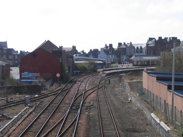
Round the bend to Arbroath Station
Introduction
The photograph on this page of Round the bend to Arbroath Station by A-M-Jervis as part of the Geograph project.
The Geograph project started in 2005 with the aim of publishing, organising and preserving representative images for every square kilometre of Great Britain, Ireland and the Isle of Man.
There are currently over 7.5m images from over 14,400 individuals and you can help contribute to the project by visiting https://www.geograph.org.uk

Image: © A-M-Jervis Taken: 19 Apr 2008
By the end of 1838 Arbroath was served by two railways. The Arbroath & Forfar Railway (A&FR) was running a horse-drawn service from the latter town over the line above which the photographer is standing; its terminus was initially at the harbour, reached by continuing straight ahead at the end of the present station platforms. Locomotive haulage on this 5ft 6in-gauge line commenced early the following year. The Dundee & Arbroath Railway ran into the town from the west and terminated at a separate Ladyloan station, just short of the harbour and beyond the buildings on the extreme right of the picture. In 1847 the gauge of the A&FR was standardised to 4ft 8½in and the following year a connecting line with an intermediate temporary station was built between the two railways for the convenience of through passengers. In 1858 this was replaced by the present station on the sharp bend (note the 20mph speed restriction sign) close to the old A&FR alignment.

