Lower Road, Llanteg
Introduction
The photograph on this page of Lower Road, Llanteg by welshbabe as part of the Geograph project.
The Geograph project started in 2005 with the aim of publishing, organising and preserving representative images for every square kilometre of Great Britain, Ireland and the Isle of Man.

There are currently over 7.5m images from over 14,400 individuals and you can help contribute to the project by visiting https://www.geograph.org.uk
Lower Road, Llanteg
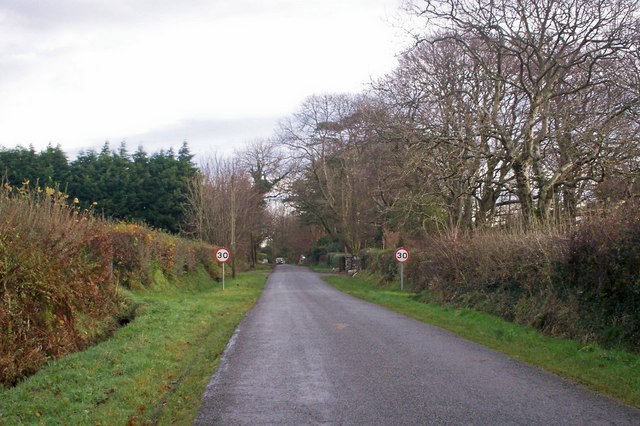
Image: © welshbabe Taken: 19 Nov 2008
Looking eastwards towards the more built up part of the Lower Road (hence the 30 mile limit). To the left behind the hedge is Norton Lodge and to the right in the trees is Heatherland.
Images are licensed for reuse under creativecommons.org/licenses/by-sa/2.0
Image Location
Latitude
51.7547
Longitude
-4.647246