Wollaton Park Golf Course
Introduction
The photograph on this page of Wollaton Park Golf Course by Stephen McKay as part of the Geograph project.
The Geograph project started in 2005 with the aim of publishing, organising and preserving representative images for every square kilometre of Great Britain, Ireland and the Isle of Man.

There are currently over 7.5m images from over 14,400 individuals and you can help contribute to the project by visiting https://www.geograph.org.uk
Wollaton Park Golf Course
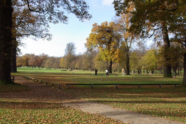
Image: © Stephen McKay Taken: 16 Nov 2008
This is the first tee seen from close to the clubhouse on a sunny autumn day. The course opened in 1927 and occupies 140 acres - just over a quarter of Wollaton Park.
Images are licensed for reuse under creativecommons.org/licenses/by-sa/2.0
Image Location
Latitude
52.946947
Longitude
-1.199441