Allums Lane
Introduction
The photograph on this page of Allums Lane by Chris Heaton as part of the Geograph project.
The Geograph project started in 2005 with the aim of publishing, organising and preserving representative images for every square kilometre of Great Britain, Ireland and the Isle of Man.

There are currently over 7.5m images from over 14,400 individuals and you can help contribute to the project by visiting https://www.geograph.org.uk
Allums Lane
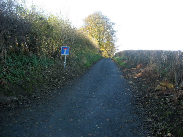
Image: © Chris Heaton Taken: 12 Nov 2008
Narrow lane that is only partially metalled gives access to Bank Side. It has been adopted by the Ebor Way Long Distance Footpath that stretches from Helmsley to Ilkley.
Images are licensed for reuse under creativecommons.org/licenses/by-sa/2.0
Image Location
Latitude
53.891655
Longitude
-1.563424