Turnstile building, Torquay Recreation Ground
Introduction
The photograph on this page of Turnstile building, Torquay Recreation Ground by Paul Hutchinson as part of the Geograph project.
The Geograph project started in 2005 with the aim of publishing, organising and preserving representative images for every square kilometre of Great Britain, Ireland and the Isle of Man.

There are currently over 7.5m images from over 14,400 individuals and you can help contribute to the project by visiting https://www.geograph.org.uk
Turnstile building, Torquay Recreation Ground
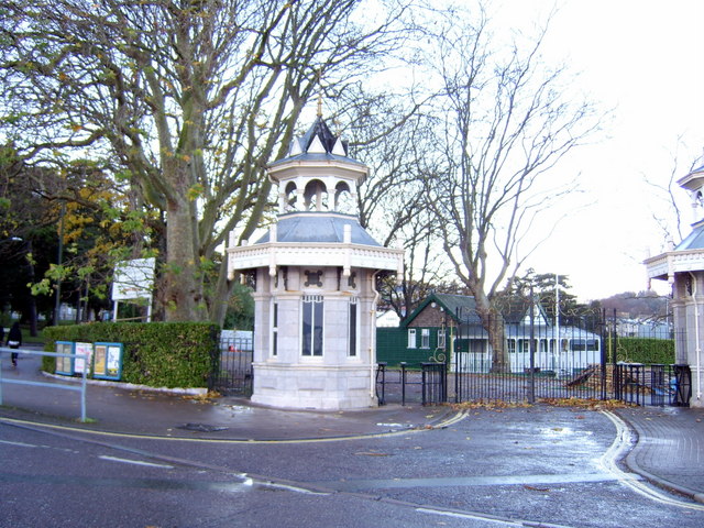
Image: © Paul Hutchinson Taken: 1 Dec 2007
These buildings were used as public turnstiles to the Recreation Ground - home to Torquay Athletic RFC, Torquay Cricket Club, and the local bowls club.
Images are licensed for reuse under creativecommons.org/licenses/by-sa/2.0
Image Location
Latitude
50.460467
Longitude
-3.541182