Gorsaf D?n Rhosneigr Fire Station
Introduction
The photograph on this page of Gorsaf D?n Rhosneigr Fire Station by Eric Jones as part of the Geograph project.
The Geograph project started in 2005 with the aim of publishing, organising and preserving representative images for every square kilometre of Great Britain, Ireland and the Isle of Man.

There are currently over 7.5m images from over 14,400 individuals and you can help contribute to the project by visiting https://www.geograph.org.uk
Gorsaf D?n Rhosneigr Fire Station
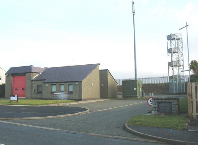
Image: © Eric Jones Taken: 14 Nov 2008
This station manned by a retained crew responds to an average of 200 shouts per annum. The Botha Disaster Memorial stands on the right of the photo. http://www.nwales-fireservice.org.uk/page.asp?page=24&skey=42 Image
Images are licensed for reuse under creativecommons.org/licenses/by-sa/2.0
Image Location
Latitude
53.23246
Longitude
-4.516992