Pink Lane, Burnham (Bucks)
Introduction
The photograph on this page of Pink Lane, Burnham (Bucks) by David Kemp as part of the Geograph project.
The Geograph project started in 2005 with the aim of publishing, organising and preserving representative images for every square kilometre of Great Britain, Ireland and the Isle of Man.

There are currently over 7.5m images from over 14,400 individuals and you can help contribute to the project by visiting https://www.geograph.org.uk
Pink Lane, Burnham (Bucks)
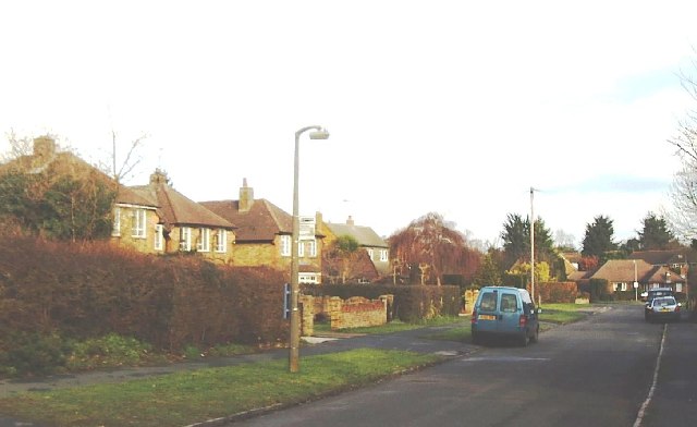
Image: © David Kemp Taken: 12 Jan 2006
Taken halfway down Pink Lane looking east. Residential areas such as this are typical of the area.
Images are licensed for reuse under creativecommons.org/licenses/by-sa/2.0
Image Location
Latitude
51.540098
Longitude
-0.664743