Fertile fields, Tal-y-Mignedd Isaf
Introduction
The photograph on this page of Fertile fields, Tal-y-Mignedd Isaf by Eirian Evans as part of the Geograph project.
The Geograph project started in 2005 with the aim of publishing, organising and preserving representative images for every square kilometre of Great Britain, Ireland and the Isle of Man.

There are currently over 7.5m images from over 14,400 individuals and you can help contribute to the project by visiting https://www.geograph.org.uk
Fertile fields, Tal-y-Mignedd Isaf
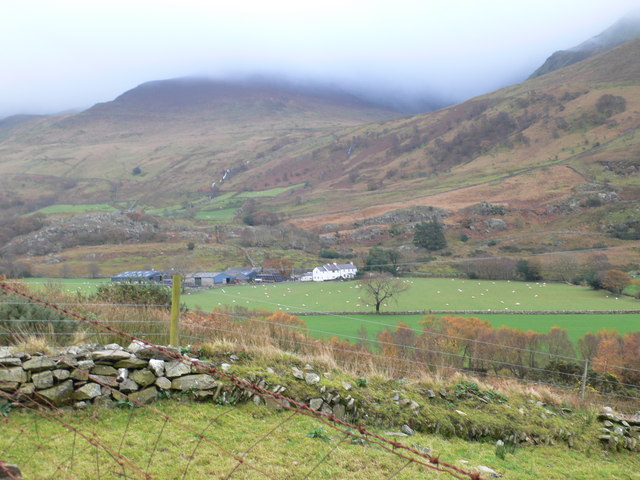
Image: © Eirian Evans Taken: 14 Nov 2008
Areas surrounding farms tend to be more fertile and have been enclosed by dry stone walls. These fields are used for producing fodder crops for feeding livestock through the winter and also used for holding livestock brought down from the surrounding rough grazing or moorland for dipping, shearing, tupping, lambing and sorting for sale.
Images are licensed for reuse under creativecommons.org/licenses/by-sa/2.0
Image Location


Leaflet Map data © OpenStreetMap
Latitude
53.054494
Longitude
-4.196211