Bank Terrace, off the Slade
Introduction
The photograph on this page of Bank Terrace, off the Slade by Natasha Ceridwen de Chroustchoff as part of the Geograph project.
The Geograph project started in 2005 with the aim of publishing, organising and preserving representative images for every square kilometre of Great Britain, Ireland and the Isle of Man.

There are currently over 7.5m images from over 14,400 individuals and you can help contribute to the project by visiting https://www.geograph.org.uk
Bank Terrace, off the Slade
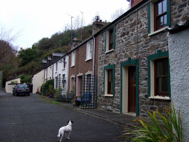
Image: © Natasha Ceridwen de Chroustchoff Taken: 14 Nov 2008
A terraced row of four small cottages that have benefited from improvements in recent years. Originally, they would no doubt have been very simple, two-up/two-down dwellings for working people perhaps employed at the lime kilns or the shipyard in Carreg-yr-Eos cove nearby.
Images are licensed for reuse under creativecommons.org/licenses/by-sa/2.0
Image Location


Leaflet Map data © OpenStreetMap
Latitude
51.995324
Longitude
-4.976112