Cruck House, Cossington
Introduction
The photograph on this page of Cruck House, Cossington by Carolyn Mansfield as part of the Geograph project.
The Geograph project started in 2005 with the aim of publishing, organising and preserving representative images for every square kilometre of Great Britain, Ireland and the Isle of Man.

There are currently over 7.5m images from over 14,400 individuals and you can help contribute to the project by visiting https://www.geograph.org.uk
Cruck House, Cossington
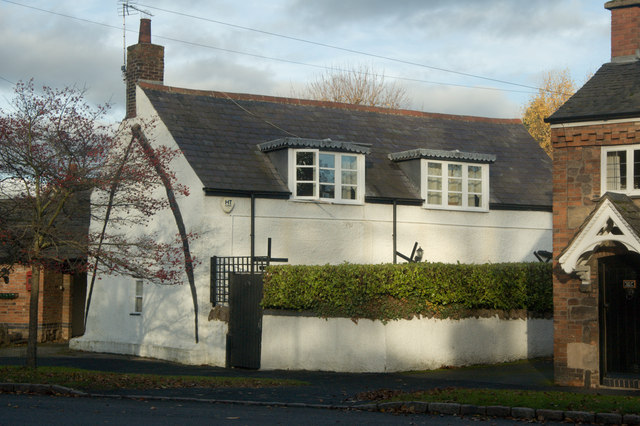
Image: © Carolyn Mansfield Taken: 14 Nov 2008
Pair of curved timbers from roof to ground in framework of medieval type roof
Images are licensed for reuse under creativecommons.org/licenses/by-sa/2.0
Image Location
Latitude
52.713975
Longitude
-1.104381