Entry to Coed Clunmelyn
Introduction
The photograph on this page of Entry to Coed Clunmelyn by Phil Jones as part of the Geograph project.
The Geograph project started in 2005 with the aim of publishing, organising and preserving representative images for every square kilometre of Great Britain, Ireland and the Isle of Man.

There are currently over 7.5m images from over 14,400 individuals and you can help contribute to the project by visiting https://www.geograph.org.uk
Entry to Coed Clunmelyn
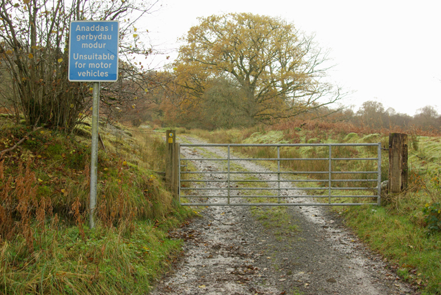
Image: © Phil Jones Taken: 14 Nov 2008
This bridleway runs from the A483 to just north-west of Llangammarch near Henfron.
Images are licensed for reuse under creativecommons.org/licenses/by-sa/2.0
Image Location
Latitude
52.134685
Longitude
-3.549682