View from Edge End
Introduction
The photograph on this page of View from Edge End by Pauline E as part of the Geograph project.
The Geograph project started in 2005 with the aim of publishing, organising and preserving representative images for every square kilometre of Great Britain, Ireland and the Isle of Man.

There are currently over 7.5m images from over 14,400 individuals and you can help contribute to the project by visiting https://www.geograph.org.uk
View from Edge End
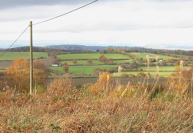
Image: © Pauline E Taken: 14 Nov 2008
Edge End is a small settlement of around 150 people which is situated on high ground on the northern edge of the Forest of Dean. This position gives long views over the Wye Valley towards Wales. The village has few facilities - a tin church and a recreation ground. View is taken from the end of a road known as Malvern Way.
Images are licensed for reuse under creativecommons.org/licenses/by-sa/2.0
Image Location
Latitude
51.817556
Longitude
-2.591704