Sling crossroads
Introduction
The photograph on this page of Sling crossroads by Pauline E as part of the Geograph project.
The Geograph project started in 2005 with the aim of publishing, organising and preserving representative images for every square kilometre of Great Britain, Ireland and the Isle of Man.

There are currently over 7.5m images from over 14,400 individuals and you can help contribute to the project by visiting https://www.geograph.org.uk
Sling crossroads
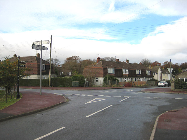
Image: © Pauline E Taken: 14 Nov 2008
Left to Clearwell, Lydney and Chepstow; right to Ellwood and Parkend; straight across to Coleford and Berry Hill. The road behind the photographer leads to Clements End, Oakwood and Bream. 'Cornish' style housing is in evidence.
Images are licensed for reuse under creativecommons.org/licenses/by-sa/2.0
Image Location
Latitude
51.768304
Longitude
-2.605696